Partnership Spotlight: The Climate FieldView Platform and Deveron UAS Corp
August 24, 2018
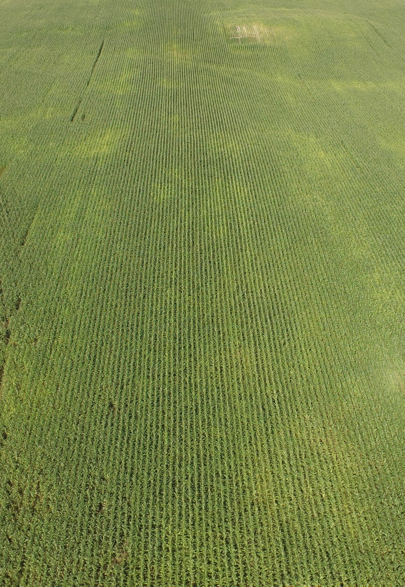 If you’re already using the Climate FieldViewTM platform, you’re likely taking advantage of the built-in satellite imagery features to manage your operation. This is a key benefit to the platform, though in some cases, it may be appropriate to go a little deeper by gaining a closer view of your fields. Ordering drone imagery is an excellent way to access that level of detail.
In November 2017, The Climate Corporation announced a partnership with Deveron UAS Corp. Deveron specializes in capturing agricultural drone imagery to help farmers better understand what’s going on with their crops.
 “Our mission is to provide timely and accurate imagery to growers that gives them more information than a surface-level observation,” explains Jacob Nederend, Deveron UAS’s Research Agronomist. “We take care of everything from the data collection, logistics, regulatory, all the way through processing and analytics.”
Since the partnership was announced, Climate FieldView users looking to explore the benefits of drone flight data have been able to order flights directly through the FieldView platform. Within a few days, Deveron can perform the service and upload the data directly into the users’ FieldView account.
“We collect [aerial] imagery so farmers don’t have to,” explains Nederend. “We take the complexity out of a new and complex tool for growers who see the value in drone imagery but don’t have the time to do it on their own.”
If you’re new to drone imagery, there’s a lot more to it than a bird’s eye view of your crops. While standard full-colour imagery is available, Deveron’s fleet of drones is also capable of capturing multi-spectral imagery. Consistent with Climate’s aim to help farmers optimize their inputs through the FieldView platform, Deveron flight data can offer a superior level of understanding of which areas of the field are candidates for targeted input applications. Deveron calls this service NDVI (Normalized Difference Vegetation Index) imaging.
“We call it a plant health map,” says Nederend, drawing a comparison to FieldView’s standard field health image feature with some distinct differences. “This imagery essentially tells you where your vegetation is, and how well it’s growing. Armed with that information, you can go out there knowing which areas of the field you need to scout.”
The NDVI drone imagery also offers the advantage of providing on-demand data when satellite imagery is not an option, which can happen during overcast periods.
Beyond just collecting the data, there’s also the matter of interpreting it. While detailed plant health imagery can give insights into yield potential, Nederend cautions that it’s important to use the data to learn from your fields, rather than taking the data at face value. High concentrations of vegetation can indicate flourishing crops – but not always.
“It’s about managing your crops with new information,” he says. “Let’s say you’re a wheat farmer, you’re growing winter wheat, and you’ve had a tough winter. Then let’s say the first thing you want to do in the spring was get a drone flight from us. The first one will show you low NDVIs where the wheat died. If you don’t do anything to remediate that problem, later in the season, that low NDVI is going to turn into a very high NDVI as weeds fill up that empty space.”
As such, the more frequent the flights, the clearer the picture of how the field evolves through the season. Luckily, users can order flights throughout the season with about a week of lead time – though Deveron is able to handle rush jobs on a case-by-case basis. “In one case, we had a rush job where we were able to get a pilot dispatched within 12 hours and the data turned around within 24 hours,” says Nederend, adding that under normal circumstances the data is available in FieldView within 48 hours of the flight.
Flights ordered through FieldView don’t just make it easy for farmers to access drone data, either. Because FieldView users start out with field boundary information already available, the flights are easier for Deveron’s pilots versus operations that haven’t yet adopted the platform. As a result, farmers ordering Deveron flights through FieldView can enjoy a pricing advantage.
In the nine months since the partnership was announced, feedback has been overwhelmingly positive. With the Climate FieldView platform’s powerful data analysis features and user-friendly interface, the integration with Deveron has been a win for everyone – especially farmers.
“We’ve had great feedback on the usability of the service,” Nederend says, “This really streamlines everything for everyone.”